
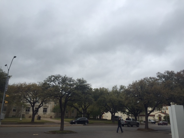
April doesn’t begin until Friday, but the spring showers are here in force.
Severe thunderstorms are expected to hit DFW this afternoon and last through the night and into early Thursday morning, according to the National Weather Service.
The storms could bring heavy rain, lightning, large hail, high winds and tornados, according to the National Weather Service.
The storm should be similar in size to those earlier this month, said Juan Hernandez, a meteorologist with the National Weather Service.
Fort Worth should expect two rounds of storms Wednesday with scattered thunderstorms in the first round, according to the weather service. The chance of hail increases throughout the day.
The second round of storms will develop west of Interstate-35 as a cold front from the west meets a dry line, Hernandez said.
The storms will then move east toward Dallas, Hernandez said.
People should avoid driving in the storms due to the risk of hail and should stay tuned into the weather for recent updates, said Hernandez.
Students can go to the National Weather Service for weather updates.
A map of available covered parking in case of hail, from the109: